Contains over 350 modules to render maps and images on monitor and paper.
ET GeoTools improves the editing capabilites of ArcGIS.
Military Overlay Editor (MOLE) is a set of COM components for developers
 Main window
 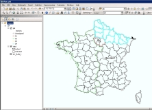 Project Window
  Setup Window
 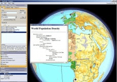 Main Window
 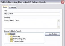 Publishing Window


